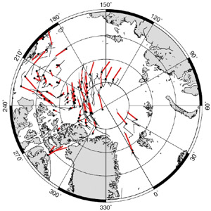
In addition to satellite radar data, GlobICE uses data from other sources as inputs to the processing chain, and to validate the ice motion and derived products.
Other EO Data

Data from other Earth observation (EO) systems include:
• Daily sea ice drift vectors derived from SSM/I and Quickscat, which provide an initial estimate for ice motion at coarse scale (from Ifremer/CERSAT, France).
• Daily sea ice concentration from Nimbus 7 SMMR and DMSP SSM/I passive microwave data (from the National Snow and Ice Data Center NSIDC, Boulder, Colorado).
• Envisat RA-2 altimeter data processed to give sea ice freeboard (from UCL, London).
Ancillary and in-situ Data
Data based on ground-level measurements are also used:
• Arctic air temperature fields from NOAA-NCEP buoys, used to decide if new ice is likely to have formed in areas of divergence (from the University of Washington).
• GPS locations of drift buoys from the International Arctic Buoy Program (IABP), to validate the ice motion product (from the University of Washington).
• GPS locations of drift buoys in the Beaufort Sea from the Sea Ice Experiment - Dynamic Nature of the Arctic (SEDNA) from 2007 onwards, to validate the ice motion product (from the University of Alaska).
<<< GlobICE and ESA SAR Data <<< >>> Antarctic Sea Ice >>>
