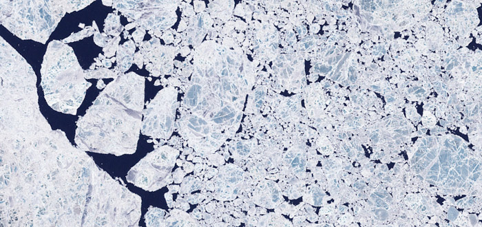
The Arctic Ocean is a remote and inhospitable region with a poor historical record of observations. There are no trade routes across this ocean, so ship-borne measurements are from a few dedicated research cruises, rather than the ships of opportunity available elsewhere. Since the mid-twentieth century, manned and automated ice drift stations, drift buoys and declassified records from military submarines have all added to our knowledge of ocean circulation and ice cover in the Arctic.

The advent of satellite remote sensing, however, opened up the Arctic to basin-wide observations repeated at regular time intervals. From 1973, a series of Landsat satellites has offered a detailed view of the Earth's surface at visible and reflected infrared wavelengths.
Landsat, however, has a limited area of coverage and is blinded by cloud cover and the prolonged dark of the polar night. Satellites using longer-wavelength microwave sensors such as radar are more suited to probing the polar regions day and night, year round, and in all weathers.
The GlobICE project uses radar imagery from the latest European environmental monitoring satellites, ERS-1 and 2 and Envisat. Launched in 2002, Envisat in particular has been operating in a mode suitable for sea ice monitoring during the Arctic winters of 2004 to 2011.
Satellite radar images of the same area taken on different dates can be compared to track changes that have occurred between the dates. Analysing images of mobile sea ice in this way allows ice features present in both images to be tracked, building up a map of ice motion.
Storms can change the appearance of sea ice by fragmenting floes or rafting them together, so common features may be hard to find if the time gap between observations is too great. Storm frequency in the Arctic Ocean puts a time limit on useful repeat observations of about six days, with an optimal target of three days. Envisat's orbit allows repeat coverage on this timescale.
As well as the motion, other sea ice observations useful to climate modellers include deformation, ice area (concentration or open water fraction), and the mass of ice flowing through gateways out of the Arctic Ocean into neighbouring seas.
<<< Modelling Sea Ice Dynamics <<< >>> Arctic Remote Sensing >>>
